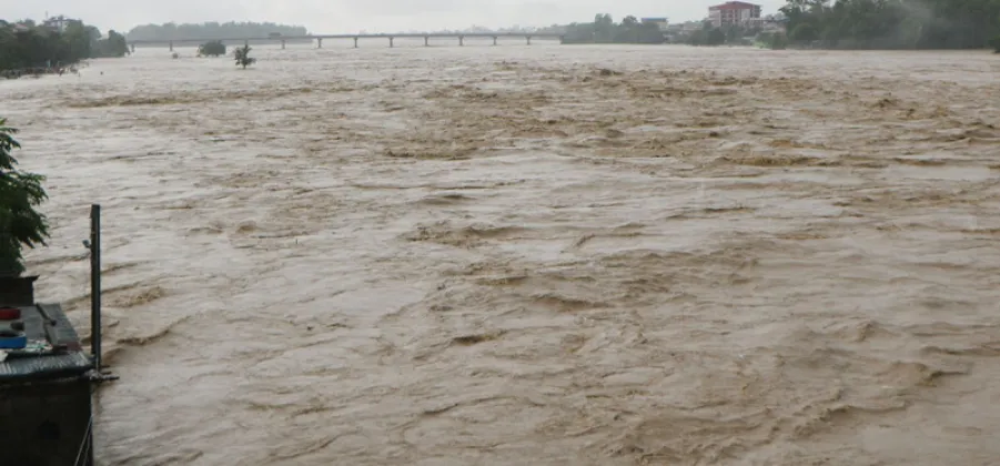
Flooding in the Narayani River basin is monitored through a network of hydrological stations that gather water-level data from rivers and streams. The information is analysed and shared to support early warnings, according to reports published on October 3, 2026.
The monitoring work is carried out under the Narayani Basin Field Office, which collects data from 18 hydrological stations located across rivers and streams in the basin.
How the monitoring system works
The stations provide water-level information that is gathered, analysed and disseminated by the field office. This process helps communicate flood-related warnings based on the monitoring data.
The reports describe the stations as part of the basin’s regular flood-monitoring system. They do not specify additional details about how frequently the data is collected or the exact thresholds used to issue warnings.