A team of geologists, local representatives and technicians from the National Disaster Risk Reduction and Management Authority has inspected landslide-affected settlements in Jaljala Rural Municipality, Parbat district, as geological assessment and damage data collection continue following extensive destruction during recent monsoon-induced disasters. A separate joint team of elected representatives and technical personnel has also completed on-site inspections and damage assessments in several wards, with the collection of damage details nearing its final stage.
Geological assessment in affected settlements
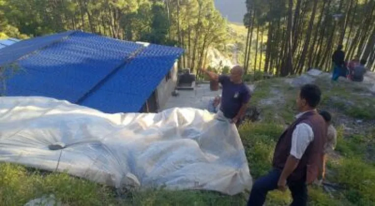
The geological team visited settlements affected by landslides to assess conditions in areas hit by the recent disasters. The group included geologists, local representatives and technicians from the National Disaster Risk Reduction and Management Authority. Their work focused on inspecting the damaged settlements and conducting a geological assessment of the affected areas.
The assessment is taking place in Jaljala Rural Municipality, which suffered extensive damage during the monsoon-induced disasters. The inspection brings technical personnel together with local representatives, allowing the affected settlements to be examined as part of the ongoing response. The available information does not specify the number of locations visited, the findings of the geological assessment or whether any immediate recommendations have been made.
Damage inspections nearing completion
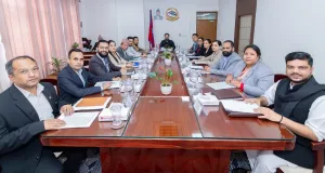
Alongside the geological work, elected representatives and technical personnel have carried out on-site inspections and damage assessments in several wards of the rural municipality. The joint team has completed those field inspections, and the collection of damage details has reached its final stage.
The assessment work is intended to establish details of the damage in the affected wards. While the inspections are complete, the information provided does not state the total number of homes or other properties affected, the extent of losses by ward, or whether a final report has been prepared. The completion of data collection is therefore the next key stage identified in the ongoing assessment process.
The two efforts cover related but distinct parts of the response: the geologists and disaster-management technicians are examining landslide-affected settlements, while the joint team of elected representatives and technical staff has documented damage through ward-level field inspections. Both activities are focused on gathering information about the effects of the disasters in Jaljala.
Jaljala’s location and the impact of the monsoon
Jaljala Rural Municipality lies adjacent to Beni Bazaar, the headquarters of neighbouring Myagdi district. The municipality is in Parbat district and is among the areas affected by the recent monsoon-induced disasters described in the assessment reports.
The reported damage has prompted both technical inspection and local-level damage documentation. The geological assessment and field inspections provide separate strands of information about the affected settlements and wards. However, no details have been provided about the specific geological conditions identified, the scale of the damage, or the next steps following completion of the assessments.
As the collection of damage details approaches completion, the work remains focused on documenting the impact of the landslides in Jaljala. The geological team’s inspections and the completed ward-level assessments are part of the ongoing effort to understand the damage caused by the recent monsoon disasters in the rural municipality.