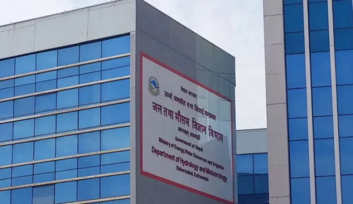
A low-pressure area that developed over the southeastern Bay of Bengal on Friday morning is likely to intensify into a cyclone by Monday, Kartik 9, and Nepal's weather could be affected from Kartik 11 to Kartik 15, according to the Meteorological Forecasting Division of the Department of Hydrology and Meteorology. The division issued the information through a special post-monsoon weather bulletin on Friday evening, noting that the system is expected to intensify gradually as it moves. The early advisory gives Nepal several days of lead time before the system's likely period of influence on the country's weather begins in the second half of the week.
A special bulletin for a developing system
The announcement came in a bulletin the department identified as a special post-monsoon weather bulletin, released on Friday evening. Special bulletins are used to communicate significant weather developments that warrant attention beyond routine daily forecasts, and its issuance on the same day the low-pressure area formed indicates that the division is tracking the system closely from its earliest stages.
According to the bulletin, the low-pressure area formed over the southeastern Bay of Bengal on Friday morning. Forecasters expect it to intensify gradually as it moves across the region, and by Monday, which corresponds to Kartik 9 in the Nepali calendar, it is likely to have strengthened into a cyclone. The projected timeline, as laid out by the division, is as follows:
- Friday morning: a low-pressure area develops over the southeastern Bay of Bengal.
- Friday evening: the Meteorological Forecasting Division issues a special post-monsoon weather bulletin.
- Monday, Kartik 9: the system is likely to strengthen into a cyclone.
- Kartik 11 to Kartik 15: Nepal's weather could be affected.
From low-pressure area to cyclone
A low-pressure area represents one of the earliest stages of organized storm development. Over the warm waters of the Bay of Bengal, widely regarded as one of the most active basins in the world for tropical cyclone formation, such systems can gather strength as they move, progressing through successive stages of intensification toward cyclone status. The division's expectation that the current system will become a cyclone by Kartik 9 reflects this anticipated gradual strengthening. Warm sea conditions in the bay, particularly in the period around and after the monsoon, provide the energy that allows these systems to organize, which is why weather agencies across South Asia monitor them from the moment they first appear as low-pressure areas.
Nepal's weather could be affected from Kartik 11 to 15
The central message for Nepal in Friday's bulletin concerns timing. The division stated that the country's weather could be affected between Kartik 11 and Kartik 15. With Kartik 9 falling on Monday, that window opens on Wednesday and runs through Sunday, meaning the system's influence, if it evolves as forecast, would span the second half of the week. As reported, the bulletin identifies this period of likely influence without specifying which parts of the country would experience the strongest effects or the exact nature of the impact.
Although Nepal is landlocked and lies far inland from the Bay of Bengal, weather systems that form over the bay have a long record of influencing the country's climate. As these systems travel northwestward across the Indian subcontinent, they can draw moisture toward the Himalayan region, often bringing cloud cover and rainfall to parts of Nepal, with the extent of the impact depending on the track and strength of the system. It is this pattern of distant influence that makes even a cyclone forming hundreds of kilometers away a matter of close monitoring for Nepal's forecasters.
Post-monsoon context and official monitoring
The bulletin's description as post-monsoon places the developing system within a season of transition. After the monsoon withdraws from Nepal, the country generally sees calmer and more stable conditions than during the monsoon months, which is why the emergence of a potentially significant system in the Bay of Bengal at this time of year draws particular attention from the forecasting agency.
Kartik, the month referenced throughout the bulletin, is the seventh month of the Nepali calendar, beginning around mid-October. The Kartik 11 to 15 window identified by the division therefore falls squarely within the post-monsoon period that the bulletin addresses.
The Department of Hydrology and Meteorology is the government body responsible for monitoring Nepal's weather and hydrology, and its Meteorological Forecasting Division issues the country's routine and special forecasts, advisories and warnings. For a developing system of this kind, the division's bulletins are the official channel through which updates on the cyclone's track, intensity and likely impact on Nepal will be communicated as the situation evolves in the days leading up to Kartik 15.
Further details on the developing system are available in the original report by Ratopati.